Warren Bench track link
We wanted to explore Warren Bench as we have seen the edge
of it for years as we drive to and from Bishop.
We could see the road leading up from the valley floor, and it was
interesting and intriguing. So, we
created a route. This is another of
those hikes based on connecting roads and trails on our USGS maps. The roads were where the map indicated, or
mostly so, the trail, not so much.
The jeep road leading up onto the bench would certainly be a
test of your jeep driving skills as it was a test of our ability to keep going
up without sliding back into the valley.
Steep, steep, steep.
 |
| Even the jeeps have trouble going up this |
Warren Bench was lovely. Unfortunately, the flat easy walking only lasted about ten minutes, and then it was up again.
 |
| Death Camas |
 |
| Crater Peak |
From the Warren Bench, it was more up, up, up, past Big Pine
Spring to where the trail would connect us with Shannon Canyon. Only, there was no trail. Or to be more accurate it wasn’t where the
map indicated it should be. We ran into it several miles away and it seems to hug the south edge of the South Fork of
Shannon Canyon, rather than going up and down through several steep
canyons as the map shows. Maybe one day we will follow it
from the bottom and see if it does connect to anything, or if it is another
death march to nowhere.
 |
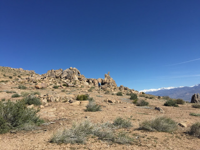
| Bob walking along "the trail" |
We did really enjoy the Alabama Hills look of the upper part
of our hike and will be trying to create a route to explore more of this area, later, after the memory of the steepness of the hike wears off.
 |
| Upper Shannon Canyon |
 |
| The White Mountains |


No comments:
Post a Comment