Thursday, March 31, 2016

Another Jaunt in Cow Heaven

Map Track Link

Bird List

We are tapering down mileage for the start of our big adventure, so no huge hikes this week.  We still need to get a bit of exercise, so we decided to walk the Cow Heaven Canyon Road and fill an eBird gap, with the hope of seeing our first Scott's Orioles of the year.

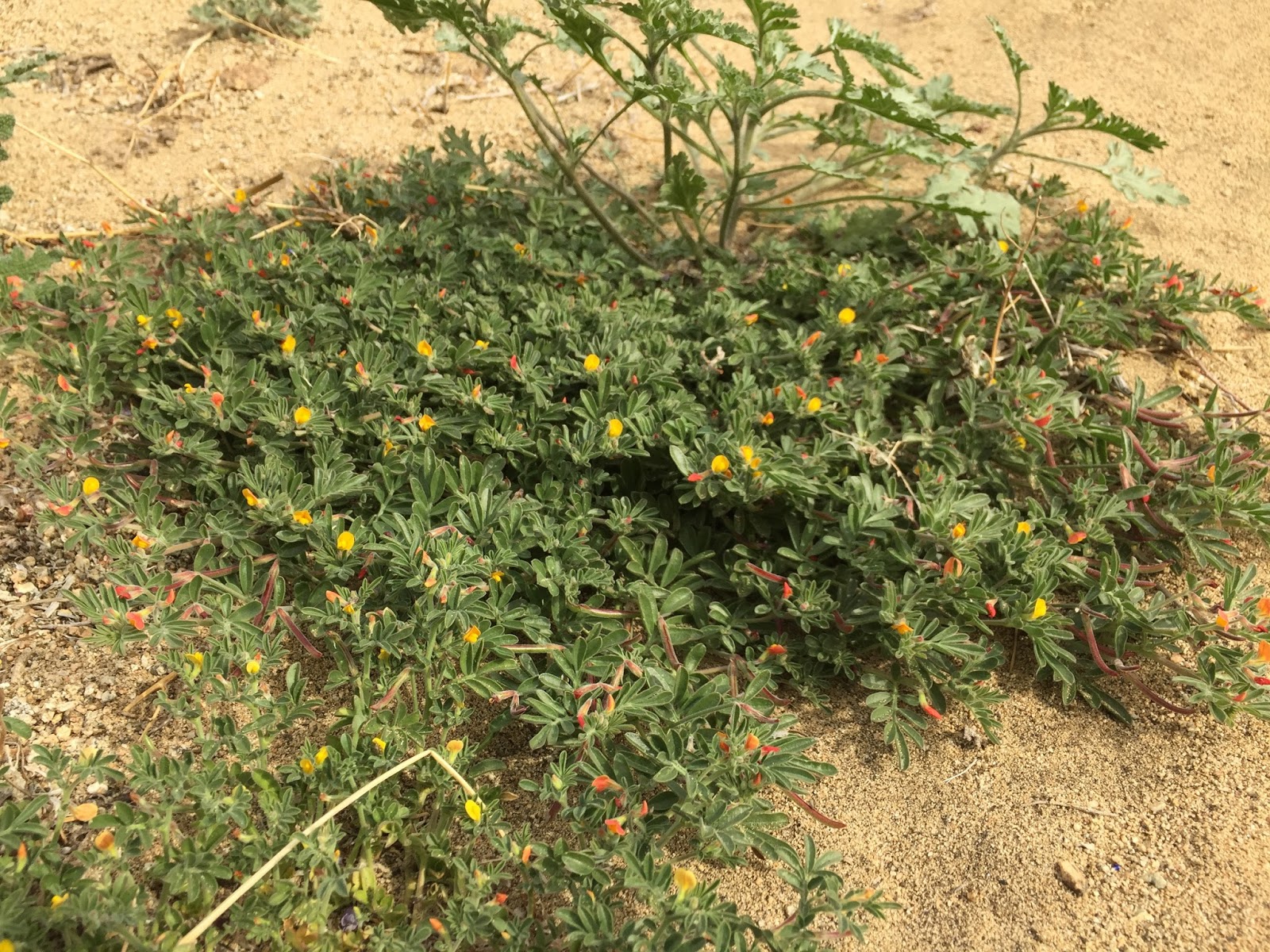
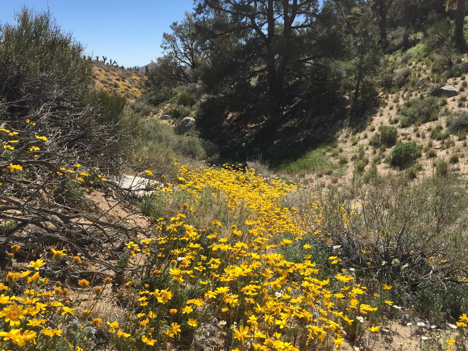
We didn't expect much in the way of flowers and as we walked up the road we could see the coreopsis on the hillside was done for the year.  When we got to the end of the road and looked in the wash, we were in for a surprise - flowers!  And they were at their peak.

So, we wandered around the far hillside and in the wash noting lovely gilias, popcorn flower, tidy tips, coreopsis, and scale bud.  Very nice.

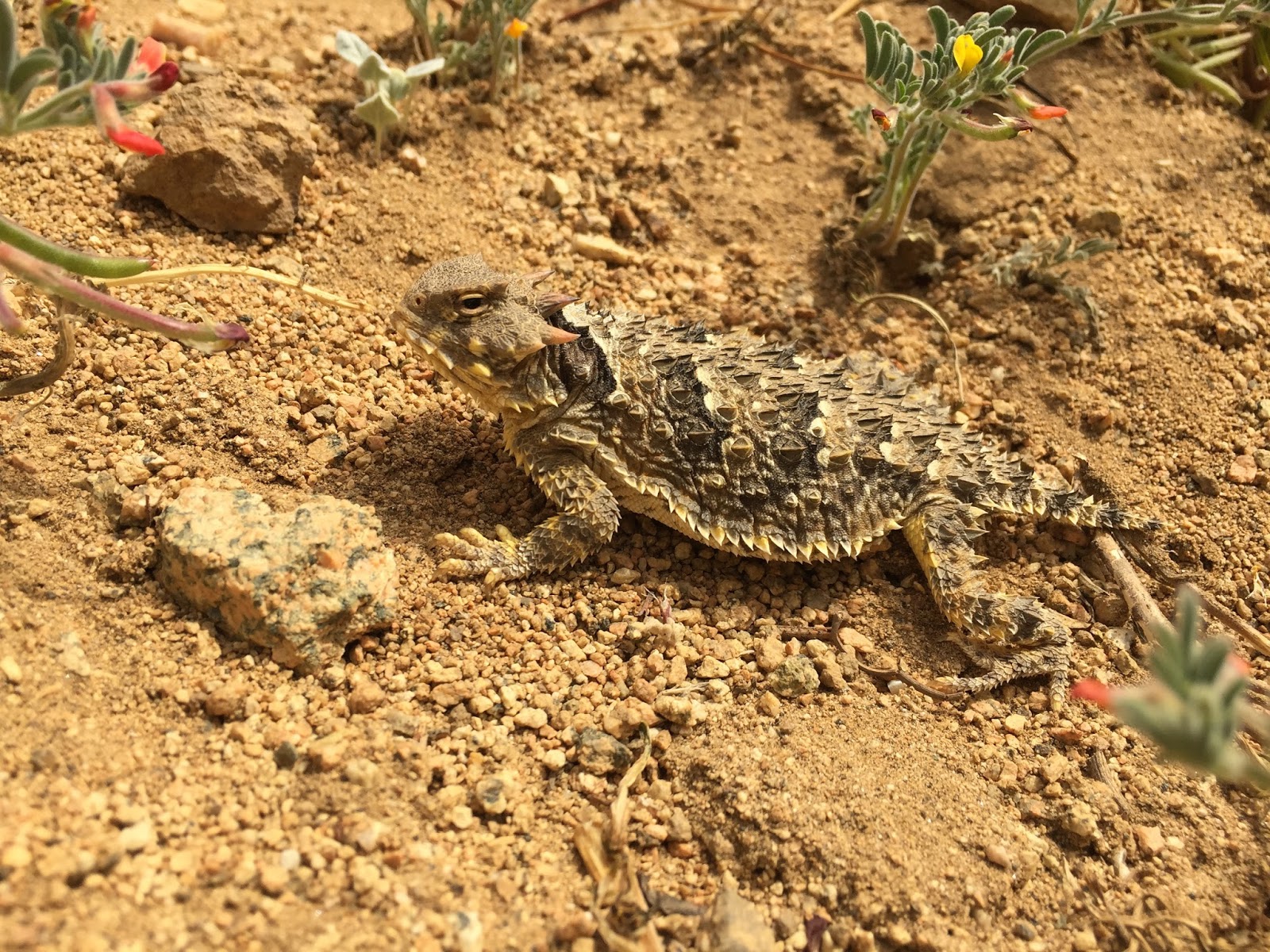
And yes, along with 27 total species we saw a pair of gorgeous Scott's Orioles!


Tidy tips


Gilia
Tidy tips and Joshua trees

Coreopsis


Wallflower


Scale bud


Lupine


Wednesday, March 30, 2016

Water Canyon - Argus Range

Map Track Link

Bird Lists:


Dry Wash

Water Canyon

A cold winter-like front came rolling in with high winds to keep us in the house Monday. The weather wasn't much better Tuesday morning but we wanted to get out, so we headed out to the Argus Range - our standby for this kind of weather day. The lower elevation, and often less wind, makes for a nice outdoor refuge from the elements. While the Indian Wells Valley to the west and Death Valley to the east were experiencing 30+ mph winds all day, in the Argus we experienced no more than 15 mph. Susan searched around on-line and found this hike with part cross-country, part BLM roads through an area where we had never been. Off we went.

The Argus Range is just west of the Panamint Mountains and Death Valley and experiences the same extreme dry climate. With a relatively decent rainy season this year there are flowers. While it was past peak for most of the annuals, there were still good flowers around. This area has long been mined for various minerals so the historical sites were also of interest to us. 


We started by climbing an old mining road up a dry wash to the mine shaft. It wasn't much to see, but there was a Say's Phoebe nest just inside the entrance. Continuing up on a donkey trail we gained the ridge overlooking Water Canyon. Chuckar, Rock Wrens, Bell's and Black-throated Sparrows all kept us company for the climb. 


Hiking up the road


Mine entrance


Say's Phoebe nest
Feral donkeys (Burros) are pretty amazing creatures. They have inhabited these desert mountain ranges for over 100 years, having escaped or been abandoned by miners. And they are quite the trail builders; creating paths to move from one area to another, or to and from water sources. Standing on the ridge 700 vertical feet above our destination in the canyon below, we need a way down the steep canyon wall. Follow the donkey trail! We wound our way down the most amazing trail, engineered as well as many man-made hiking trails we've been on. It even had multiple switchbacks on some of the steepest sections. In a short while we were safely on the floor of Water Canyon. All thanks to our trail building donkey friends.


Susan stands in a donkey rolling pit, used for dust baths to rid the animals of parasites in their fur


Standing on the ridge above Water Canyon


Water Canyon far below


View northeast toward the mouth of Water Canyon and the Pamamint Mountains beyond


View west to the Argus crest. Susan is hiking on the awesome donkey trail.


Mojave Aster


Side canyon
We walked down Water Canyon for a little over a mile stopping a few times to investigate old mining sites and have lunch. As we ate a flock of about a dozen White-throated Swifts buzzed overhead at close range for a great show. Next up was a side canyon that would get us back to the ridge top and heading toward our car. 


Water Canyon looking upstream to the west


Water Canyon looking downstream


Narrowleaf Goldenbush


Narrowleaf Goldenbush


Water Canyon


Mine tunnel
While the old mines and structures make for interesting features as we hike, the modern PVC open ended pipes marking mining claims make for bird killers.  This area is loaded with them.  From just one pointed we counted 13 of these death pipes, and there are miles of canyon marked this way.


Rock Nettle


Rock Nettle


Old miner cabin
PVC mine claim markers - also known as bird death traps...

We were able to walk up the side canyon bottom usually following the donkey trail. Along the way Susan found a very cooperative Rosy Boa who allowed great photos, keeping with the general theme of cool reptile sightings for the past week or so.


Side canyon escape from Water Canyon


View across water canyon as we ascend


Rosy Boa
Rosy Boa


Susan ascends the canyon


From the top back to Water Canyon
At the top of the ridge we met up with a dirt road that would take us back to the car. Shortly along we came to an old onyx mine that demanded a brief side trip. The onyx deposit was at the top of another ridge that gave an outstanding view across to the Panamint Range.  All the was left to do was the two miles to the car in a freshening breeze. 


From the ridge looking south


Horned Lizard
Taking a break at the onyx mine


View across to Panamint Mountains


A beautiful Notch-leaved Phacelia still hanging on near the mine


Old mine structure


We think this is onyx stone, but we really weren't certain what we were looking for


Desert Star

Monday, March 28, 2016

Nine Mile Canyon

Map Track Link

Bird List


Nine Mile Canyon
As we wrap up our training hikes in preparation to start the PCT on April 6, we continue to reach into the archives for interesting hikes to occupy our time. Susan had hiked in Nine Mile Canyon many times over the years with a friend, but I had never been hiking in the canyon. 

There is a road up Nine Mile Canyon leading to Kennedy Meadows and the northernmost paved road over the Sierra (Sherman Pass, closed in winter) before the ~200 mile stretch of roadless wilderness of the Sierra Nevada Mountains. The road itself is carved into the canyon side, many hundreds of feet above the bottom. It started many years ago as single lane dirt, was paved some time later, and finally widened and had guard rails installed in parts in 2011. Even today, for the acrophobic, it is a white knuckle ride. One of the fascinating (in a morbid sort of way) parts of hiking in the canyon bottom is to look at the many wrecked vehicles - at least one dating back to the '50s. For the majority of the drive on the road, the canyon bottom is over 500 feet below you. You wouldn't walk away from that...

We started at the aqueduct climbing over a wilderness boundary fence and dropped into the canyon bottom. There is permanent water in the canyon at the surface or just below. Riparian habitat abounds up through the desert habitat zone and into the Gray Pines and Oaks. Near the top the habitat transitions to pinyon/juniper before summiting at Chimney Meadow (6200 feet elevation). As would be expected when hiking through multiple habitats we had a good diversity of bird species. The highlights were the large group of Lincoln's Sparrows apparently migrating together, two Lark Sparrows singing on territory, our first singing Brewer's Sparrow of the spring, a Golden Eagle soaring above the peaks, and multiple Cactus Wrens and Ladder-backed Woodpeckers in the Joshua Tree woodlands. 

There is an old severely overgrown mining road for about three miles at the start, then it is bushwhacking and sand slogging as the canyon closes in. We certainly didn't make great time as we moved up, but enjoyed the birds and incredible flowers at higher elevations. We stopped for lunch just before Susan's favorite vehicle wreck, an ancient D8 Caterpillar tractor. The word on this one is that the road construction worker felt his tractor sliding off the mountain and managed to jump off before the beast plummeted 800 vertical feet to the creek below. After seeing the Cat we kept going, following an obvious bear trail. How did we know it was a bear trail? By the scat seemingly every 20 feet, and some of it was relatively fresh. We never did see Yogi himself, but did find one of his sleeping pits - a round nest in the oak leaves surrounded on one side by mega- piles of bear poop. I guess when you're a bear you can crap in your own nest...  

As the canyon continued to narrow and steepen we strayed a bit from the canyon bottom then finally decided to take the elevator approach to the top. Scrambling, sometimes on all-fours, we made it up the final 400 feet to the road. Looking back down it appeared we might have been able to make it up the canyon bottom to the top, although the bushwhacking may have been epic. 


Climbing the gate

The canyon is part of the Owens Peak Wilderness, created in 1994

Riparian areas below, Sawtooth Peak on the upper left skyline


Riparian trees (cottonwood, willow) fill the bottom of the canyon

After the mining road the canyon bottom narrows

Funnel Spider hole

Joshua Tree woodlands scattered along the lower canyon slopes

Higher in elevation the flowers are still at peak

Grape Soda Lupine

Charlotte's Phacelia

Sand Verbina

Lotus

Moving up canyon, the first of many car wrecks

A smashed car on the slope above

The engine fell out...

This one came down with a trailer

Car bits

Probably the finest examples of Charlotte's Phacelia and Coreposis we saw all spring

Charlotte's Phacelia - it doesn't get much better than this

What's left of a Ford Ranger

Large fields of Coreopsis above

Into the Gray Pine habitat

Flowers, canyon and Sierra crest

The road high above a flowered hillside

Coreopsis

Desert Peach

Step carefully

This one has been there long enough that part of the tree has grown up through

Sand Verbina and Coreopsis


Full-frame iPhone macro of a Horned Lizard

I'm not a car buff, but would guess a '50s vintage Chevy Wagon?

Gray Pines and Coreopsis


Susan stands in Yogi's sleeping pit

D8 Cat

The road at this point is 800 vertical feet above

Flowers and car parts...

Enormous Oak

Never could figure out what this part was...

Standing at the top, nearly "Nine Miles" from our car, we chose to do a little road walking. There was no way we were going back down at that point. Susan knew a good canyon re-entry point a few miles down canyon so we walked the paved road and marginal shoulder. Thankfully the traffic was very light, even for a Easter Sunday afternoon. The road walk was fun, looking down to the canyon bottom below and admiring the fields of flowers on the slopes above. Reaching our entry point we scooted back down to the canyon bottom then retraced our route to the car.  


Climbing up the final stretch to the road

On the road again...

Susan makes the final push up to the road

Road walking

The canyon we walked up far below

The road stretches off into the distance with the canyon below

Looking down slope into the canyon from the road with all the coreopsis flowers

Road and canyon

Hillside above the road

Joshua Trees and flowers above the road

Our opportunity to get off the road and back to the canyon bottom

Near the finish we find our first open cactus flower of the spring
We have been very fortunate this spring to have such great weather overall and outstanding flowers wherever we've gone to hike. We have averaged 5 days per week and put in a lot of hiking miles in preparation for our summer journey. We've written about nearly every one of them and shared the adventures. Thanks for reading and coming along for the ride. It is our hope that this is only the start of the real adventure.