Sand Canyon
Map Track Link
Bird Lists
Sand Canyon - Kern
Sand Canyon - Inyo
 |
| Lower Sand Canyon |
We started at the wilderness gate and followed the old road up to the county line. At this point there is an old wildfire area that destroyed many of the gray pines. These have fallen on the trail making for more difficult travel. Moving beyond the fire area the canyon narrows and a little route-finding, bush whacking, and side-hilling is in order. We went well beyond the usual turnaround point and made it farther back in the canyon this time than any previous visit. We finally quit when the canyon turned into dry waterfalls. If we had continued on, a mere 1600' of up in less than a mile would have put us on the PCT. The flowers were excellent and the birding very good with 35 total bird species.
 |
| A wind cloud spills over the crest |
 |
| Lupine |
 |
| Scale-bud |
 |
| Chia and Coreopsis |
 |
| Poodle-dog Bush - a burn area obligate that can cause sever skin reaction similar to poison oak |
 |
| Poodle-dog Bush |
 |
| Burn area with many fallen trees |
 |
| Scale-bud |
 |
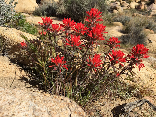
| Paintbrush |
 |
| Very cool eroded in place arch rocks |
 |
| Hillside of Coreopsis |
 |
| Upper Sand Canyon |
Short Canyon
Map Track Link
Bird List
 |
| Mary Ann Henry plaque |
 |
| Short Canyon Wilderness gate |
 |
| Poppies, Coreopsis and others along the trail |
 |
| Charllot's Phacelia |
 |
| California Poppy |
 |
| Paintbrush |
 |
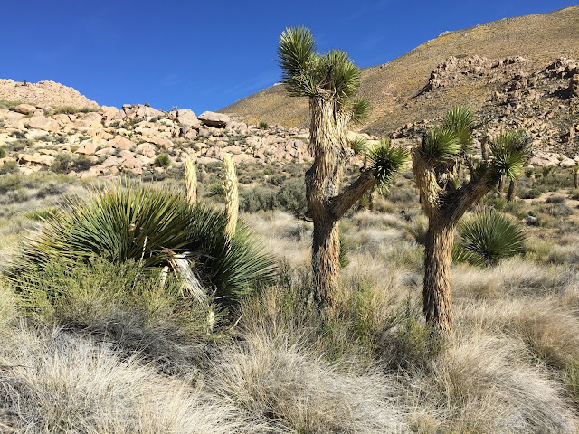
| Nolina and Joshua Tree |
 |
| Nolina flowers. This yucca species flowers every 7-10 years |
 |
| Upper Short Canyon |
 |
| Coreopsis covered hillside |
 |
| Scale-buds |
 |
| Wandering among the flowers |
 |
| Coreopsis and Scale-buds |
 |
| The view down into Grapevine Canyon to the north, form the top of Short Canyon |
 |
| More coreopsis covered hillsides |
 |
| Charlotte's Phacelia |
 |
| Leaning rock |
 |
| Phacilia |
 |
| Balancing rock |
 |
| Sand Blossom |
 |
| Showy Gilia |


No comments:
Post a Comment