 |
| Sabrina Basin from just above Lake Sabrina |
 |
| A beautiful Sierra Columbine |
 |
| Sierra Columbine |
 |
| Blue Lake, a popular day hiking destination |
 |
| The stream crossing just above Dingleberry Lake |
 |
| Getting higher into the basin |
 |
Midnight Lake. Our final destination for the day, Blue Heaven Lake, is at
the top of the ridge at the back right edge of the lake |
 |
| Sierra Primrose |
 |
| Blue Heaven Lake, and the east face of Mt. Darwin |
 |
| Looking back down toward Midnight Lake |
 |
| Dwarf Phlox |
 |
| The full moon rises |
Day 2 was a tricky one. We needed to climb above Blue Heaven Lake and tag the unnamed tarns and ponds below Darwin Col. Then we backtracked and descend through Hell Diver Lakes almost back down to the main canyon before ascending again to another side canyon and many more lake chains. With lots of talus hoping and class 2 scrambling, it was a long day. It took us the better part of 11 hours to manage about 6 miles. Tough...
 |
| Blue Heaven Lake at sunrise |
 |
| Working our way through the talus along Blue Heaven Lake |
 |
| More talus, lots more talus |
 |
| Darwin Col (the notch) and a still frozen tarn |
 |
| The largest of the small lakes below Darwin Col |
 |
| Lewisia |
 |
| Looking back down at Blue Heaven Lake as we descend |
 |
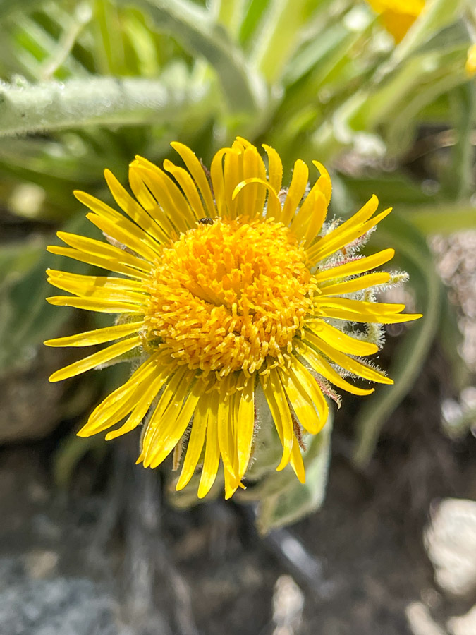
| High Mountain Hulsea (Alpine Gold) |
 |
| High Mountain Hulsea (Alpine Gold) |
 |
| Working our way down the Hell Diver Lakes |
 |
| One of the Hell Diver Lakes |
 |
| Bottleneck Lake, our second camp spot |
Day 3 was another busy one. We would ascend and descend the two remaining side canyons, tag all the lakes, then finish back at our camp at Bottleneck Lake. Doing it this way allowed us to do the difficult climbing without our camping gear, using our backpacks just to carry food and a few other items. It was another big day of hiking, with many thousands of feet of elevation gain and descent, but only a bit over 6 miles of travel. And we spent over 10 hours doing it.
 |
| As we leave camp, looking down at Fishgut Lakes |
 |
| Brewer's Mountainheath |
 |
| One of the Fishgut Lakes |
 |
| Tiling's Monkeyflower |
 |
| Making our way up the intense talus from Fishgut to Granite Lake |
 |
| It was like this all day... |
 |
| Granite Lake |
 |
| The view back down canyon |
 |
| Some really big talus to navigate as we make our way toward our next canyon |
 |
| A lovely afternoon in the Sierra |
 |
| Nuttall's Linanthus |
 |
| Large Red Indian Paintbrush |
 |
| Lemmon's Paintbrush |
 |
| War wounds. That talus can be a might unfriendly |
 |
Second climb of the day, to Schober Lakes. Looking back down canyon you can
see all the way to the Owens Valley (over 7,000 feet lower) and White Mountains |
 |
| Schober Lakes |
 |
| Schober Lakes |
 |
| Schober Lakes |
 |
| Schober Lakes |
 |
| Schober Lakes |
 |
| Schober Lakes |
 |
| Alpine Aster |
 |
| Climbing back down through the Schober Lakes. The terrain isn't much easier |
 |
Little Elephant's Head. Look closely at the individual flowers
and you can see the elephant's trunk, ears, and eyes. |
 |
| Getting closer to camp |
Our final day wasn't too difficult. After a cross-country descent from Bottleneck Lake we picked up the regular trail and knocked out the final 4+ miles to the trailhead. We probably pushed this itinerary a little, but as it turned out it worked. The next day started a week of severe afternoon thunderstorms, and we certainly were happy to miss that.
 |
Sunrise over Bottleneck Lake |
 |
| Descending back down to the main canyon, and out |
 |
| Fireweed |

