
Bird Lists:
Noname Canyon
County Line Canyon
Boulder Canyon
 |
| LA Aqueduct at Noname Canyon |
A few weeks ago Susan and I were just getting started with a hike in Noname Canyon. A fellow came along in his truck and stopped to chat for a few minutes. He asked us if we were familiar with the original construction trail (foot path) for the first aqueduct. We weren't so he pointed out where it left the canyon bottom and told us it was possible to follow it all the way to Sand Canyon miles to the south. Well, we just had to try that! Saturday morning we drove back up to Noname Canyon and began our adventure.
 |
| On the trail |
 |
| Aqueduct traverses the mouth of Noname Canyon |
 |
| Pipe enters the mountain |
 |
| Over 100 years ago the pipe was made of riveted steel |
 |
| Noname Canyon in the background, the southbound pipe enters the mountain (to the left) |
 |
| View northwest (Noname Canyon to the left) with the Coso Range in the background |
 |
| Another view of the pipe leaving the mountain on the north end and traversing Noname Canyon |
 |
| Evening Snow |
 |
| Coso Range and desert floor |
 |
| Chicory |
 |
| Mojave Aster |
 |
| Susan traverses one of the well constructed rock bridges |
 |
| Mojave Aster |
 |
| Charlotte's Phacelia |
 |
| Mountain top above trail. The rock climbers apparently love these formations |
 |
| Many Charlotte's Phacelia |
 |
| The view south just before entering County Line Canyon. The Sand Canyon gravel operation is obvious. |
A little over a mile later we rounded the bend and into the next canyon - County Line Canyon. As the name suggests, it sits right on the border of Inyo and Kern Counties. This is a steep rugged canyon with an apparently popular rock climbing area. We saw 5 climbers coming in from the south as we moved toward the back of the canyon. The problem here for us was the worn-out bridge across the rugged canyon mouth. 100+ years had taken its toll on the structure. We had to drop a ways down the canyon to the base of the tailings pile and climb back up again.
 |
| County Line Canyon and the tailings from tunneling into the mountain |
 |
| County Line Canyon |
 |
| Tunneling entrance from back in the day - mostly collapsed now |
 |
| The "bridge" |
 |
| No way was Susan going to walk the "balance beam" over a 50 foot drop |
 |
| County Line Canyon tailings pile from the north side |
 |
| Sulpher-flower Buckwheat in full bloom |
 |
| Not sure about this graffiti - I'm pretty sure we knew it was a rock... |
Moving past County Line Canyon we came to more modern construction, a well graded dirt road that terminated about 1/2 mile south. These roads were built much later, probably around the time of the second aqueduct construction in the late 1960's. This road obliterated the original trail to the mouth of the next canyon - Boulder.
 |
| Graded dirt road |
 |
| Bush Monkey Flower, the first we've seen this spring |
 |
| Bush Monkey Flower |
 |
| Boulder Draw bypass gate |
 |
| Water for the birds |
 |
| Boulder Canyon looking down |
 |
| Newer aqueduct access road below |
 |
| Chukar |
 |
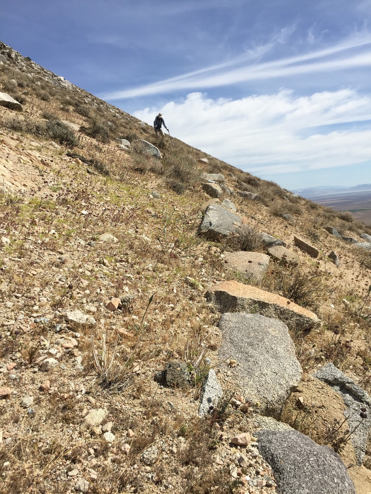
| Finding our way with little trail evidence |
 |
| Purple and White Phacelia side by side |
 |
| The trail is all but gone in this section |
 |
| Side-hill traversing |
 |
| Sand Canyon gravel operation. You can't see the extent of this beast from the desert floor |
 |
| Sand Canyon. The aqueduct leaves the mountain tunnel and traverses the canyon before entering another mountain |
 |
| The final descent. We could just barely make out the old trail occasionally by a line of rocks |
 |
| Sand Canyon and the new road |
 |
| Mixed wildflowers cover a hillside |
Excellent find - the trail. Interesting adventure.
ReplyDelete