Susan searched the books and web then found us another magical hike. This would be our last for this trip and might just have been the best.
This is an easy trailhead to get to, just a couple miles off the highway at White House Campground. We stopped on the way in at the BLM ranger station to inquire about water levels in the river. Assured that we would need wade no deeper than our knees, and with a sunny forecast, we were off.
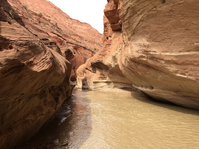
The route is nothing more than following the river down canyon, on dry land where it is available, and wading in the river where it is not. We spent a lot of time in the water... We chose to go downstream to the confluence of Buckskin Gulch for our turnaround point. 16 miles of wading and hiking in wet shoes sounded like plenty.
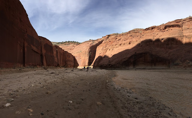
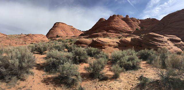
The canyon is wide and open for the first four miles with spectacular views all around. As the river switches back an forth from canyon wall to canyon wall we crossed it many times. Our count was about 25 crossings before we reached the narrows.
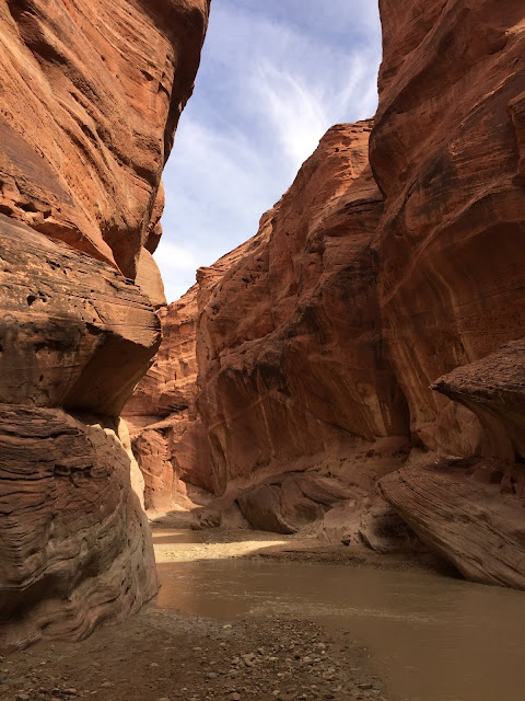
And then the canyon slams shut with nowhere to walk but down the river much of time.
We made it to the confluence with Buckskin Gulch and turned around. With a backpack and a few days food this route goes all the way to Lee's Ferry on the Colorado, but that will have to be another day.
 |
| Buckskin Gulch at the confluence |


No comments:
Post a Comment