Hike track link
eBird list
After being trapped in the house due to nasty weather, we were itching to go hiking and seized upon the forecast in the Argus -- only a 50% chance of showers and winds below 20mph. Wahoo! Let's go hiking. So, in spite of the fact that we could see a very large and dark cloud centered over the Argus as we left home, we decided that it wouldn't amount to much, and would be gone by the time we drove over. Wrong! My hike to the north side of Great Falls Basin would have to wait. It was pouring and the road was flooding. We could see fresh snow in the areas above 5000 feet. Arrrgh! What to do, what to do? Press on of course.
 |
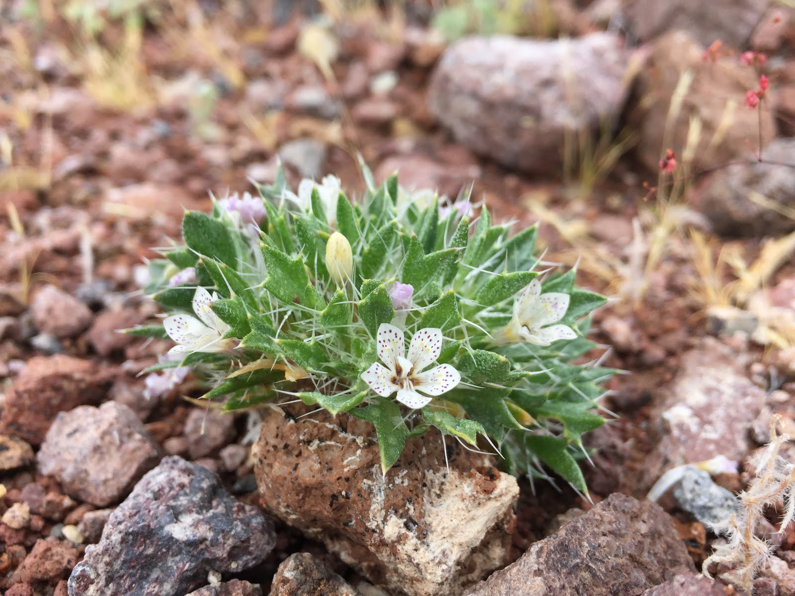
| Lilac Sunbonnet |
We headed into the Panamint Valley where we found it completely overcast, and cold, but no rain. With just a vague understanding of the area, and a map that the USGS last updated in the 1950s, we picked an old road that looked like we would get a workout and started up. It passed old prospects and took us 1400' up to the top of a ridge overlooking Water Canyon. And it continued down to the bottom of Water Canyon, which wasn't on the map. We headed down passing more mining junk and random prospects until we found a place sheltered from the wind and had lunch. To complete the hike we headed down Water Canyon, and looped over to the Whittaker Iron Mine, and back to our car. This turned out to be a good cold weather hike, and having been to the area now, we know a few improvements we will add in next time when we invite our crazy hiking friends along.
 |
| Our workout ridge |
 |
| Random mining junk |
 |
| It is a steep road up to the ridge. |


Would love to join you doing that trail someday, but don't think we could keep up with ya. Do love "desolate" places. The Whittaker Mine hike looked lovely.
ReplyDelete