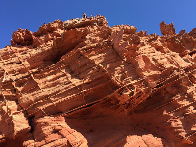
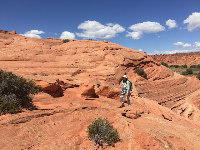
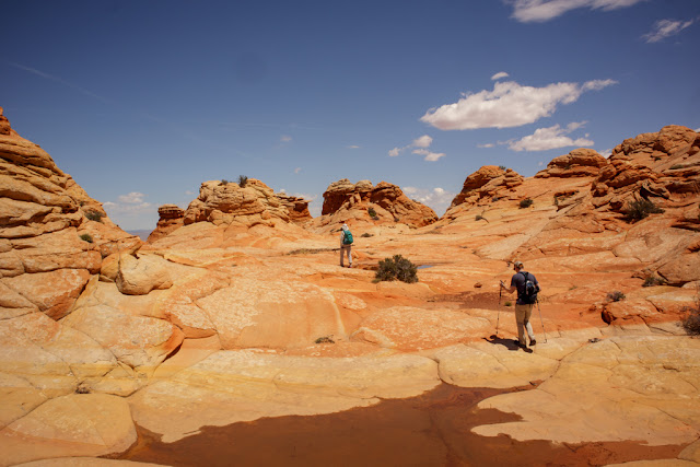
Our first hike in Southern Utah (actually this hike was just south of the border in Arizona) was another difficult to get permit - South Coyote Buttes to the Southern Wave (and other interesting features). This area is only a few miles away from our hike last month to The Wave in North Coyote Buttes. It was every bit as interesting and in some respects even more fun than the earlier hike. Either way this is a special area with fantastic hiking.
We heeded the BLM advice to park down the road from the true trailhead at Lone Tree Reservoir adding over 2 miles in each direction to our hike. The road up to Pawhole can be extremely sandy and many a hiker has gotten their vehicle stuck on this road. The recent rains made for fairly hard packed road conditions and I'm sure our Subaru would have cruised right up. Oh well... The road walk did produce quite a few singing Gray Vireos, so there's that.
There is no trail, and no specific route to the best parts of this area around the Southern Wave. We had found some waypoints for specific features of interest, so we looked at our topo map and took off. We made a few minor routing mistakes early on but quickly found a good line for the four miles out.
 |
| Lunch time |
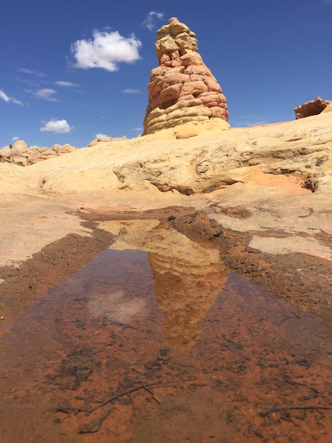
The are a few named features out there - Control Tower, Twisted Rock, The Southern Wave, and more. We really enjoyed the egg hunt of finding each one. We even managed to find the dinosaur footprints.
 |
| The Creature |
 |
| The Control Tower |
 |
| Dinosaur footprint |
 |
| The Southern Wave |
Now knowing the lay of the land we chose a more direct route back, as the day was waning quickly and water was at a premium in our packs. Our day in South Coyote Buttes was pretty special, one we'd definitely do again in the future.


I had never heard about this site. Incredible formations.
ReplyDelete