We had grand snowshoeing plans, many lakes to visit, much backcountry to explore. The weather had other plans. Snow, high winds, wind chills below zero. Having lived that dream in my childhood, I knew better. It was time for plan B.
A look at the National Weather Service forecast map showed that the valley would be much much, much better. The next step was grab a map and look for places we wanted to go to, but hadn't made it to yet. The Tungsten Hills. We had done a day of exploration previously, but already had a car shuttle route we wanted to do that would allow us to see some old mine stuff, and bag a peak. Now for the other half of the car shuttle, a phone call later, Hikin' Bill was in.
Tungsten Hills Travserse
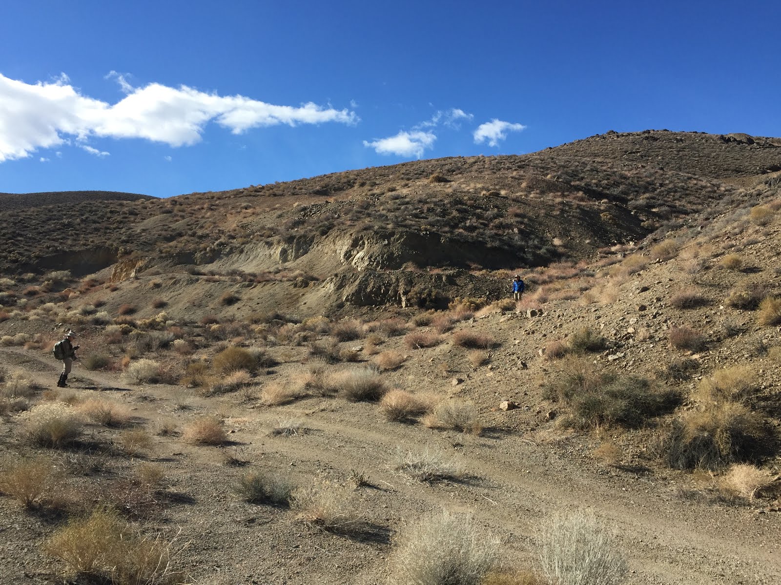
We started at the south end and went by Jackrabbit and Tungsten Blue mines before bagging Tungsten Peak, and checking out Little Shot and Round Valley mines on the way to the other car. We thoroughly enjoyed this route for the variety of scenery.
 |
| Bob, Hikin' Bill, Tungsten Blue Mine, and Tungsten Peak |
 |
| One of the tunnels in the Jackrabbit Mine |
 |
| A vertical shaft in the Jackrabbit Mine. I'm zoomed in a WHOLE bunch. |
 |
| A small part of the Tungsten Blue Mine. We have no idea why there is a cross here. |
 |
| Looking back at the Jackrabbit Mine, Little Sister Mine, and Lookout Mt |
 |
| Emerson, Humphreys, Basin and Tom |
 |
| We bagged another peak |
 |
| The White Mountains |
 |
| Wheeler Ridge |
 |
| Sierra |
 |
| Tungsten Peak |
 |
| Moss and lichen after the rain |
 |
| A scary mine shaft. The BLM has caged the most dangerous. |
 |
| A view through the cage bars of the mine shaft. |
 |
| We were unsure if this cross on the ground was a mine marker, or something else. |
 |
| Round Valley Mine |
 |
| One of the scariest mines we saw. Looks like it is held together with rusty iron. |
 |
It was big enough to drive a vehicle in. Scary, very scary..
A Pet Cemetery
This pet cemetery lies along the road where we started the Tungsten Hills hike. It looked interesting enough for a short visit on the way back.
|

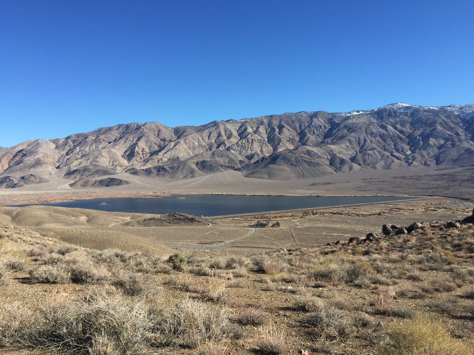
Poverty Hills
The next day we needed another hike in the lowlands, so off to the Poverty Hills we went for more mines and breath taking views of the Sierra, White, and Inyo Mountains.
 |
| The Sierra, Birch and Tinemaha, Goodale Mountains |
 |
| A random rock I liked. |
 |
| Fish Springs Hill, Crater Mountain with Round and Sugarloaf in the background. |
 |
| Tinemaha |
 |
| The New Era mine |
 |
| The Inyo Mountains |
 |
| Now this is scary, as this is an active claim and that is the ladder into the shaft. |
 |
| The Sierra looking south |
 |
| Red Mountain |


No comments:
Post a Comment