Thursday, November 29, 2018

Coyote's Tricky Pictograph Loop


ebird list1
ebird list2

What to do, what to do, what to do.  Four ebird gaps and only three days to fill them.  The solution, a new loop.  Bob originally proposed a fourteen mile route he used to run with six or so miles on dirt roads and the last two uphill.  Nooooooo.  Somehow, that just didn't sound like fun.  Counter proposal, take two cars and lose the six miles of road, and add an out and back sidehill to a pictograph site.  Second counter proposal, add a 600 foot ridge climb to start the day and turn it into a one car loop.  Sounds like an adventure.

Our first 600 feet done

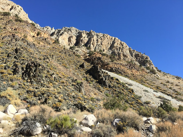
We don't have to climb this.

Near the top of our 600' ridge climb we discovered that the smart coyotes didn't drop down to the spring and then head into the next valley.  They simply contoured along an old trail high on the hillside.  Brilliant.  We still don't know if this is an old mine route or someone's old hiking trail, but with just a bit of cross-country it tied into a trail we use regularly.

We get to contour here rather than drop down several hundred feet

We are heading up the center of this canyon

The final uphill of the day

Jenkins Peak

Our route over to the pictographs could use a bit more work, or a better deer trail, but we made it, and were then able to head down the valley and back to our car.

The reward for all our work


Saturday, November 24, 2018

Black Knob

Hike track link

eBird list

Friends Cynthia and Fred inspired this one and all it took was a photo of a petroglyph of big horn sheep.  Funny how that works.


Yin and Yang bighorn sheep


Black Knob

Black Knob sits between Pine Mountain and the Bald Mountain Fire Lookout and offers a fine view of Domelands Wilderness and Lunch Meadow (now that is a great name).


Bald Mountain


Lunch Meadow and Domelands


Pine Mountain

Our route had us weaving through the pines while we tried to follow contour lines.  This worked out remarkably well as the deer had created a fine network of trails.  Getting to the top is a scramble through the volcanic boulders. 


A section of the volcanic talus scramble
Looking back down the talus slope

Juniper berries and feeding robins and waxwings were in abundance.  Always a welcome addition to any hike.


One of many old junipers
A conifer grows from this large boulder. One way big rocks get turned into little rocks.

Tuesday, November 13, 2018

Panamint City In a Day

Hike Track Link

Panamint City is a ghost town in the Panamint Mountains, at the west edge of Death Valley National Park. It was founded as a silver and copper mining town in the 1870's and peaked at a population nearing 2000 individuals. A graded road led to the town up until it was washed away to bedrock in a major series of thunder storms in 1983. Now Surprise Canyon, which leads to the town, is only passable on foot from near the Panamint Valley floor at 2,600 feet elevation, to the town 6+ miles up canyon at 6,300 feet. It is not an easy hike - there are slippery waterfalls and much overgrown brush to contend with. Most hikers backpack in and spend the night after the strenuous hike up the canyon. But we are not most hikers and decided to bag this one in a day. Our friends Dan and Amy, Shawn and Gina, and Brian all made the trip to join us in our foolishness.

There were a few birds about during our hike, including a few Woodhouse's Scrub-Jays and a vagrant White-throated Sparrow just upstream from where we parked. 

eBird Checklist


The mouth of the canyon in early morning light (dark)

The first waterfall climbs come quickly after starting up the canyon


This was engraved into a rock at one waterfall. We tend to agree.


Brian ascends a trick slope next to the water. It's hard to believe there was ever a road in this canyon passable by a regular car!


Panamint Valley far below

A wild burro (or inexperienced hiker, it's always hard to tell) who met his fate here

It takes a long time for the sun to reach these deep canyons at this time of year

We finally reach open country about half way up the canyon. From here it is straight forward hiking up the steep canyon


Panamint City sits below the crest of the Panamint Mountains ahead

A side canyon - Sourdough, also was busy with mining activities

Panamint City with a few remaining buildings. The famous smoke stack from the brick kiln is still standing

There are ancient (and not so ancient) pictographs on rocks in the area


This building is fondly called "The Panamint Hilton." There is still private property in the area
(within Death Valley N.P.). 


Shawn and Gina pose inside The Panamint Hilton. It's obvious that much care is taken in maintaining some of the remaining structures.

Custom Snowshoes

The Panamint Mountains crest

"The Castle," in Sourdough Canyon is well cared for


Heading back down canyon we pass one of two very active springs. At this one there was once a real brewery

Thankfully the local burro population keeps the "trails" somewhat open. Susan tells me that during her last visit here 10 years ago these overgrown spots were nearly impassible. 


Susan descends a particularly tricky bit


A bat just hanging out
No shortage of old vehicles and junk in the canyon


Near our cars again, another mining structure
With a little internet searching, there is much excellent information on the history of Panamint City. Here are just a few:

Wikipedia

Sean Goebel's excellent photos and descriptions of the city

Death Valley Adventures