
Grouse Mountain
Map Track
7 miles
Bird List
 |
| Approach to Grouse Mountain with Sierra Crest beyond |
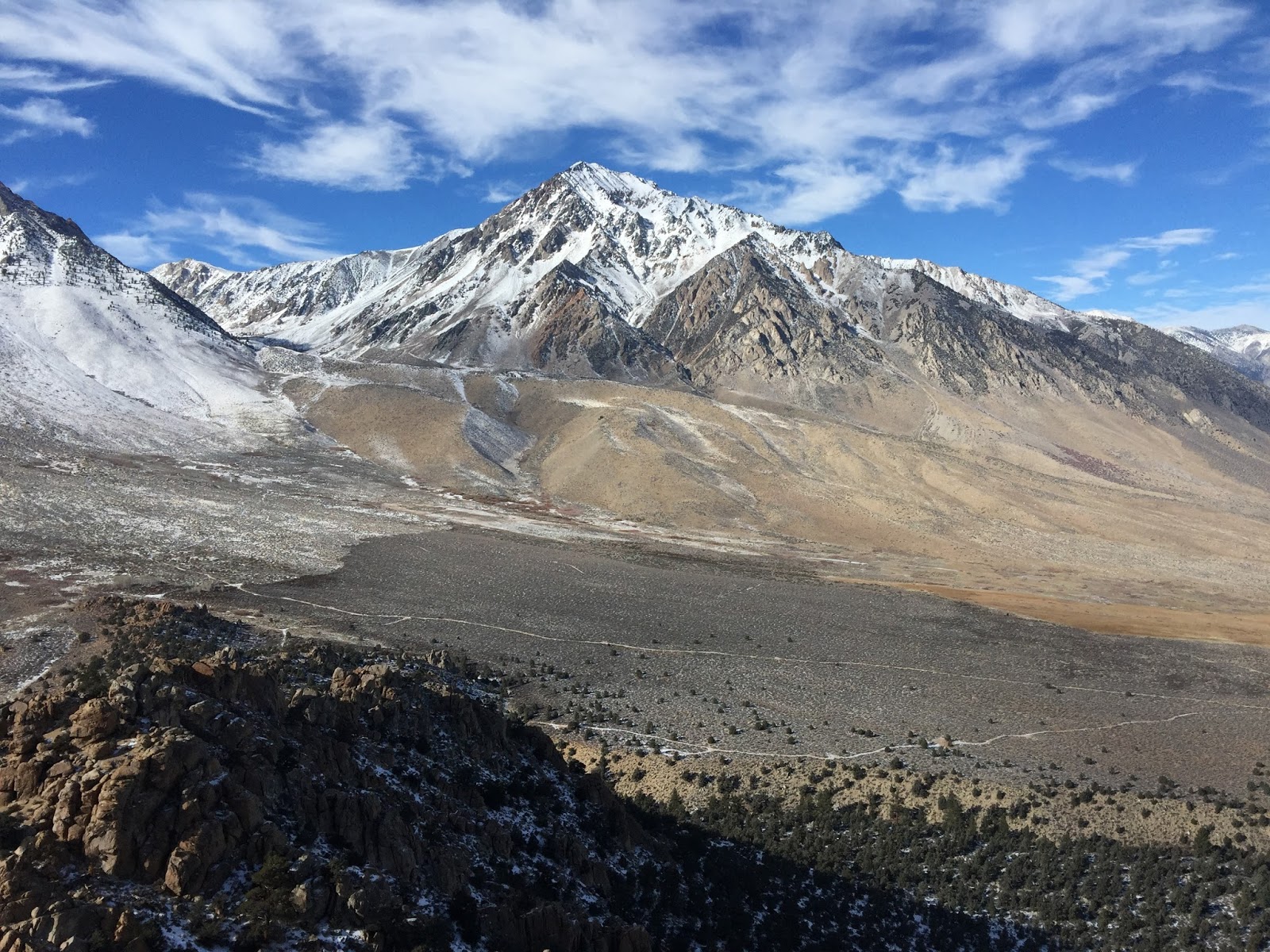
 |
| Mt. Tom and Basin Peak |
 |
| About to leave the primitive road for cross-country to the top |
 |
| Working our way up the slope |
 |
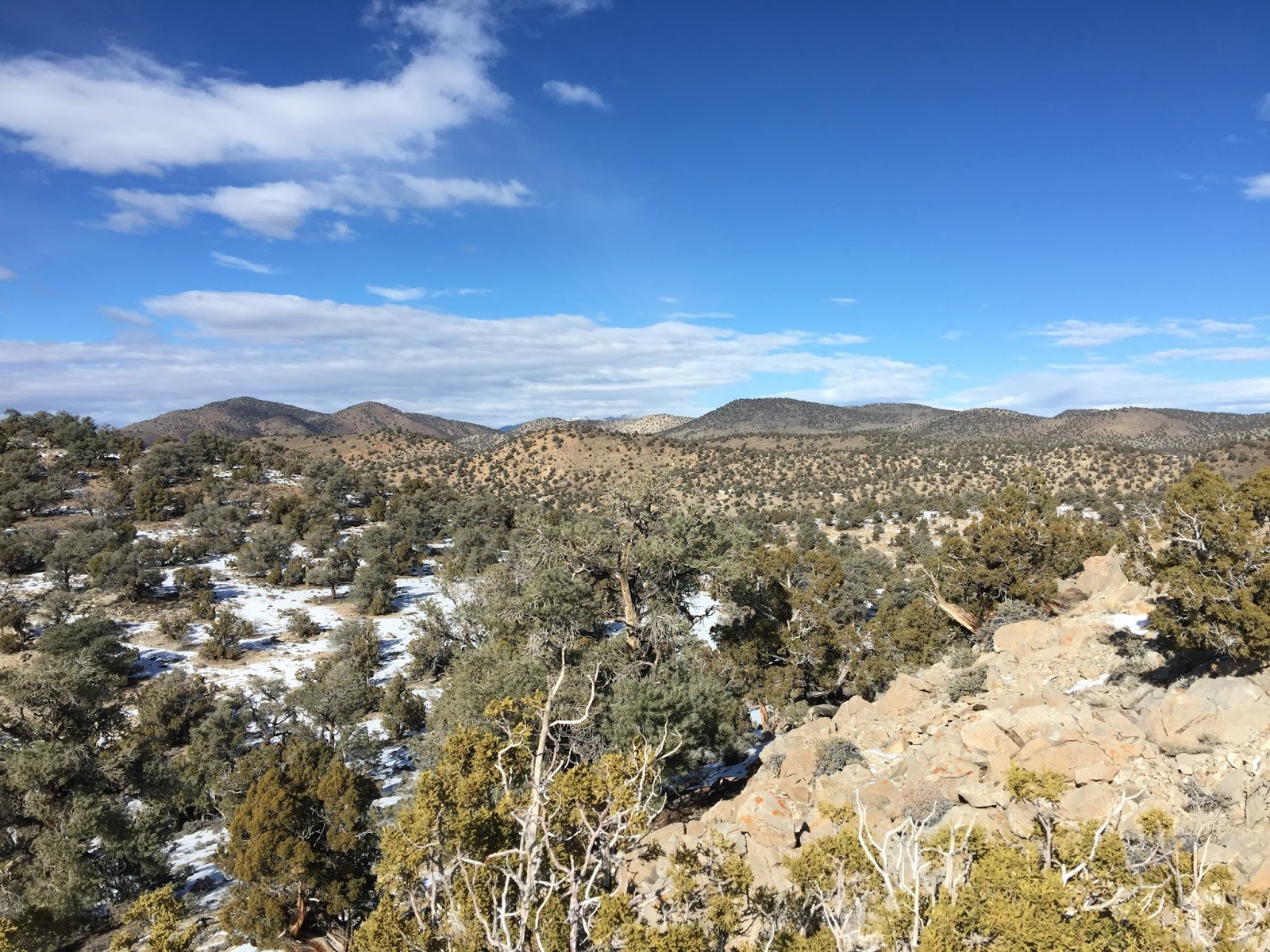
| Ridge on Grouse Mountain with Sierra beyond |
 |
| Mt. Tom with Hikin' Bill approaching |
 |
| Sierra Crest (Mt. Humphreys and Mt. Emerson) from Grouse Mountain |
 |
| The "Peak Finder" app makes for easy identification of mountain names (same view as previous photo) |
 |
| Susan and Hikin' Bill doing a bit of scrambling |
 |
| On to the final summit |
 |
| Basin Peak beyond a ridge |
 |
| Susan and Bill approach the summit with Mt. Tom beyond |
 |
| The view from near the top across the Owens Valley to the White Mountains |
 |
| Mt. Tom |
 |
| Mt. Tom and Basin Mountain |
 |
| Susan showing off her scrambling skills near the top |
 |
| Triumph! |
 |
| Hikin' Bill on the summit |
 |
| Picking our way through the Jeffrey Pines on the descent |
 |
| Interesting and steep terrain as we move down slope |
 |
| A view back to the summit |
Silver Canyon
Map Track
13+ miles
Bird List
 |
| Entrance to upper Silver Canyon |
 |
| The sun rises late in the bottom of the canyon |
 |
| A nice sunrise on the canyon walls |
 |
| As we climb higher the Sierra Crest starts to emerge to the west |
 |
| The Sierra Crest across the Owens Valley to the west |
 |
| The snow wasn't too deep at lower elevations |
 |
| Looking down into Silver Canyon and the Sierra beyond |
 |
| Icy grass tufts in the snow |
 |
| More ice crystals on the grass |
 |
| Historic cabin at 9,800 feet elevation |
 |
| Foxtail Pine grove at 10,000 feet elevation |
 |
| Walking through the Foxtails |
 |
| Sierra Crest panorama |
 |
| Our first indication that a Sage-Grouse was nearby |
 |
| Sage-Grouse tracks. Susan found the bird about 50 yards up slope walking away. |
 |
| White Mountains crest looking north |
 |
| White Mountains crest looking northeast |
 |
| Traversing the crest in powder snow - in trail running shoes. Brrrr... |
 |
| Bristlecone sign at the top of Silver Canyon |
 |
| Sierra Crest and Owens Valley panorama from the top |
 |
| Ice crystals |
 |
| Descending Silver Canyon jeep road |
 |
| Silver Canyon jeep road |
 |
| Sunset over the Sierra on the way home |
Deadman Canyon (Inyo Mountains)
Map Track
10+ miles
Bird List
 |
| Low end of Deadman Canyon |
 |
| Quad map shows 4X4 road |
We continued up canyon cresting at about 8,000 feet into a lovely tableland with small peaklets and lots of interesting views and terrain. As we headed off cross-country to bag a small peak nearby we came across a well built wildlife guzzler. These guzzlers dot the desert all through the Owens Valley, and Indian Wells Valley to the south, put in over the years by various hunting and conservation organizations (and individuals). The idea is to collect rainwater when it falls, store it in a tank, and make it available to wildlife during the dryer parts of the year. Most are made with a large concrete apron that funnels water to an underground tank. This one was quite unique being build with old satellite dishes as collectors, a plastic storage tank underground, and a series of pipes to direct the water to a small output are for the wildlife. It is all frozen solid now but I'm sure it works great when most needed spring through fall.
We had lunch just below the small peak summit and finally had some bird activity. A small flock of noisy Pinyon Jays joined us nearby and a couple of Juniper Titimice flitted in the trees a few yards away. After satisfying our growling bellies we continued across the top to finish a small loop through the high tablelands. I know that Gray Vireo requires some pretty specific habitat and this area looks perfect to me. Gray Vireo has only been found in Inyo County at one location in the Grapevine Mountains near Death Valley, on the border with Nevada. This spot will be well worth checking in the spring. It is a dead-ringer for the pinyon-juniper habitat that holds numerous vireos at the Rose Mine south of Big Bear.
After finishing the loop on top we backtracked down Deadman Canyon to the car to complete an enjoyable desert hiking day.
 |
| View back toward Devils Gate |
 |
| View down canyon and across to the Sierra Crest |
 |
| Pinyon, junipers, and some snow |
 |
| View down canyon from higher elevation |
 |
| Inyo Mountain crest |
 |
| Wildlife guzzler storage tank - and rain collectors (old satellite dishes) behind |
 |
| Guzzler output station (frozen over now) |
 |
| View west from Inyo Crest |
 |
| Dormant cactus |
 |
| View north from crest |
 |
| View east from crest |
 |
| Another Sierra crest view from the top |
 |
| Susan and Hikin' Bill on the top |
 |
| Beautiful old juniper |
No comments:
Post a Comment