This
was an Aspendell weekend and Friday is our usual hiking day when we're here for
three days. A storm earlier in the week had left a fresh layer of snow in the
Sierra so hiking from home might require snowshoes as we moved higher in
elevation. We've done a lot of snowshoeing this winter and with backpacking
season coming soon a dirt hike sounded more appealing. This early in the season
a hike in the White Mountains across the Owens Valley can be pleasant so we
headed for Silver Canyon. This canyon is reached by traveling east at Laws
Railroad Museum a few miles north of Bishop. The road is well graded and easily
traveled in a high clearance vehicle with many shallow stream crossings to
maneuver through. We drove to an elevation of 6,400 feet where Silver Canyon divides
in two branches. Straight ahead the road continues all the way to the crest and
intersects the Ancient Bristlecone Pine Forest road between Schulman and
Patriarch Groves. Our trek would return on this road but heading up would take
us in the north branch of the canyon to the historic wagon road.
 |
| North Fork Silver Canyon |
With an 8:00 AM start in a deep
canyon our route would be well shaded from the sun until we climbed out of the
canyon. A Spotted Towhee called near the car and a flock of over two hundred
Pinyon Jays flew past us as they moved out to forage for the day. We reached
the wagon road in a couple of miles and began the serious climbing out of the
canyon towards the crest. After another half a mile or so, we rounded a
corner and finally reached a sunlit mountainside covered in pinyon pine.
 |
| Claret Cup Cactus |
 |
| Locoweed |
 |
| Historic Wagon Road |
Bird
activity exceeded our expectations as we worked our way up the mountain between
8,000 and 9,500 feet elevation. It was difficult to make much progress as we
continually encountered flocks of birds including many Cassin's Finches,
White-breasted and Red-breasted Nuthatches, Mountain Chickadees, and Clark's
Nutcrackers. The real surprise was two Lewis's Woodpeckers and three flocks of
Evening Grosbeaks totaling at least 45 individuals.
 |
| Sierra Crest Across Owens Valley |
The higher we climbed the more
the view of the Owens Valley and the snow capped Sierra opened up. The pinyons
gave way to higher elevation species like Mountain Mahogany and Mountain
Juniper.
 |
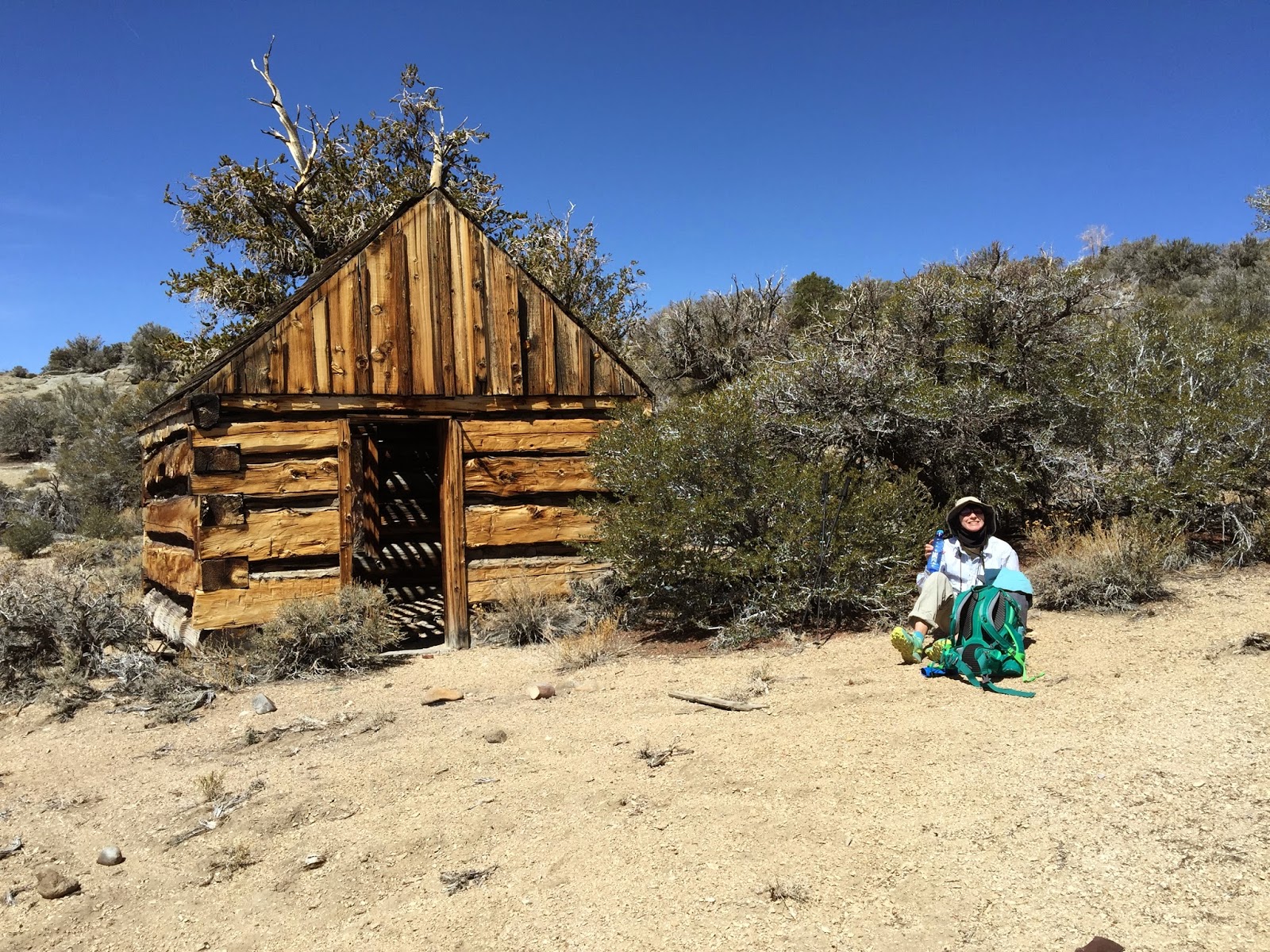
| Old Mining Cabin |
At 9,800 feet we stopped for lunch at the historic cabin prior to our
final ascent to the crest. Foxtail Pines dotted the landscape at this
elevation. Continuing up we reached a fine stand of Bristlecone Pines at 10,000
feet where a Sooty Grouse called nearby and several Red Crossbills flew over.
 |
| Bristlecone and Foxtail Pines |
Once through this grove we entered the high alpine habitat typical of the
crest with stunted sagebrush and wide open vistas. Numerous Mountain Bluebirds
greeted us at the top along with a singing Horned Lark.
 |
| Bridge |
 |
| White Mountains Crest with Blanco Mountain Beyond |
We traversed the crest at an elevation of 10,500 feet, 7.5 miles from the start, connecting with the Silver Canyon jeep road for our descent back to the car. A short distance down the road we ran into a flock of Red Crossbills feeding in a stand of pines at eye level and only yards away. It would have been easy to spend an hour watching these cone specialists work their magic but the quad busting downhill awaited. We dropped 4,000 feet in 5 quick but punishing miles and reached the car in the early afternoon.
 |
| Steep Downhill on Jeep Road |
The weather was pleasant all
day, starting out in the high 30's in the morning, 50's at the crest with a
moderate wind at times, and in the high 60's at the end.
Bird List: http://ebird.org/ebird/view/checklist?subID=S22840431
GPS track: https://www.gaiagps.com/public/ArqwOhrNjDNix3FJt5QD6JqJ//
Bird List: http://ebird.org/ebird/view/checklist?subID=S22840431
GPS track: https://www.gaiagps.com/public/ArqwOhrNjDNix3FJt5QD6JqJ//

No comments:
Post a Comment