Wednesday, July 8, 2015

Sierra High Route (Day 3)

Day 3 - Blue Lake to Cony Crags (12 miles)


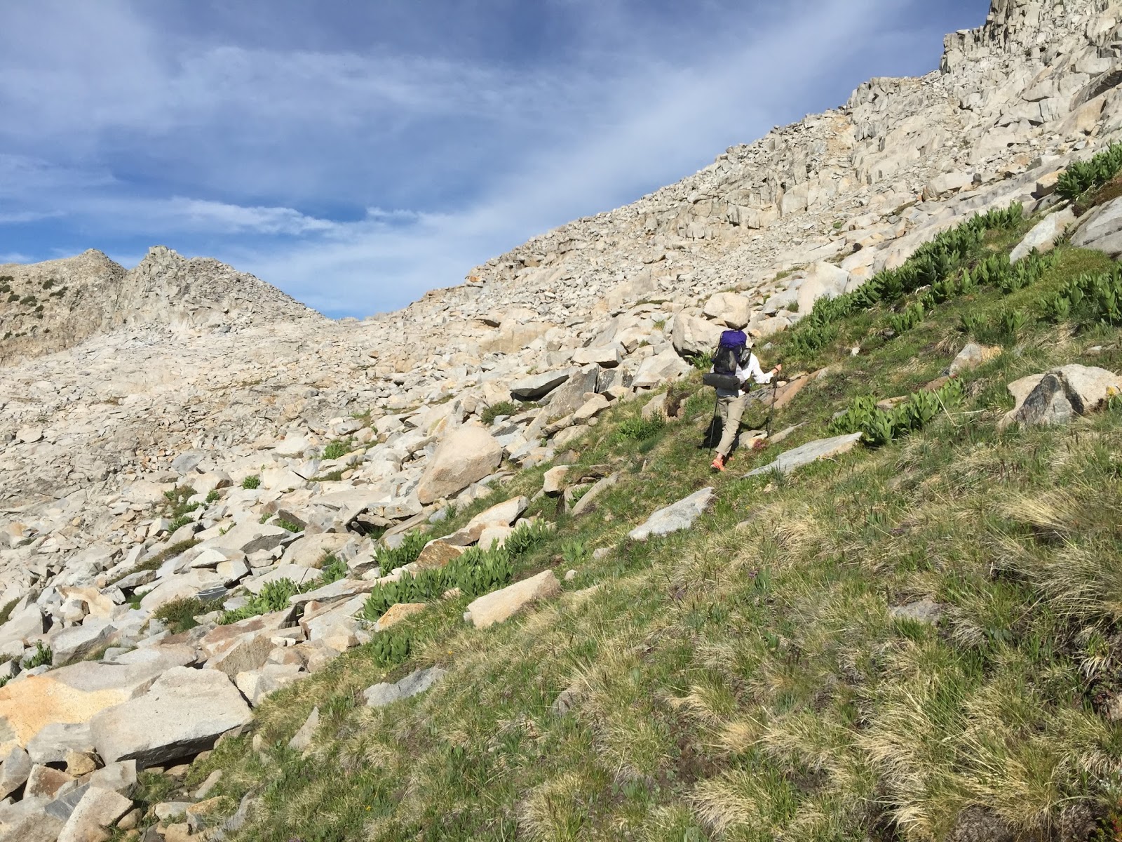
Climbing Blue Lake Pass
Another fine day, what could go wrong?! Staged just below Blue Lake Pass this should have been an easy day with lots of pleasant cross-country and Yosemite trail miles. Blue Lake Pass, on the shoulder of Foerster Peak at 11,250 feet, was less than a mile and only 750 feet higher than our camp. The climb up the east side was easy enough on a mix of grassy slopes, low angle granite ramps and stable talus. We were at the top in less than an hour. The view from the top was spectacular, the Yosemite National Park Clark Range filling the panorama to the west.

The view west from Blue Lake Pass
The north/west side of virtually all Sierra cross-country passes are much steeper and more difficult to travel. Over the eons, glaciers have a much greater effect on the north side forming more rugged and steeper slopes. Additionally, if doing the route northbound as recommended and described by Roper, north is the descent side of the pass where gravity works against you as you move down these steep slopes. Roper describes the descent from the pass like this, "After taking in the view, drop down the steep talus on the west side of Blue Lake pass; short cliffs intervene occasionally, but they are bypassed easily, especially on the right. After a descent of approximately 400 feet, the hiker arrives on the shores of a rockbound lake." We followed Roper's advice and worked our way down the right side of the pass. To make a long and ugly story shorter, we cliffed out twice after descending several hundred feet requiring us to scramble back up and traverse to a different part of the pass.  We eventually found a series of class 2/3 ramps and gullies that connected on the LEFT side of the pass that got us down to the rockbound tarn. Four frustrating and very tiring hours had passed since we left camp. In over 100 miles of Sierra High Route over two seasons, this is the first time we really struggled with a Roper description of a descent.


The view back up to Blue Lake Pass from the bottom. Looking from this direction, we came down on the right.
It is lunch time and we've gone what, less than two miles?!  Ugh... The rest of the day should go much better, right? Are you seeing a trend yet? Anyway, food in the bellies and we are off on a very pleasant traverse toward the Lyell Fork of the Merced River in a canyon far below us. The flowers on this alpine romp were outstanding with acres of lupine and others.
Alpine traverse toward Lyell Fork

Flowers everywhere!

Silverleaf Lupine

Acres of Lupine

Clark Range
As we drop out of this alpine setting and toward the Lyell Fork canyon, it is critical that we find and get on the Isberg Pass trail.  There is no cross-country route into the canyon (you will fall off a cliff and die) and the trail will lead us safely down the 1,100 foot descent to the river.  We know where it is supposed to be and I have a GPS location that should put us within sight of the trail - but it's not there.  We cast about, walking here and there looking for it for half an hour.  Nothing.  Finally we take a bearing on the canyon slot we know we must walk down and head for it, knowing we will have to intersect the trail at some point.  We're in the slot, bushwhacking steeply down, constantly looking at the GPS to verify our location in the right place - still no trail.  Just as complete frustration sets in and we consider going back to the top and starting over, I glance off to my left and see a highway of dirt; the trail.  We have no idea where it came from or how we missed it, but now we had it.  Down, down, down we go on a beautifully switch-backed trail to the river. 


Lyell Fork Merced River
There is no bridge, no fallen logs, no tall stepping stones to get across, just a fast moving river.  We've given up trying to keep our shoes dry in situations like this; it's just too dangerous to cross a river like this in flimsy wading shoes. We remove our socks and take the insoles out of the shoes, lace them up tight, then cross using the buddy system. Wet shoes will dry, drowning in a river is permanent.

Across the river now we still have lots of miles to make up as we climb the 1,000 feet out of the canyon.  We plan to hike late hoping to get back on track with our mileage. As we climb the canyon wall on a nice trail it starts to do what?  If you guess rain you'd be right! Rain while trail hiking is only an inconvenience so we plow on. It is light and intermittent this time, so hardly worth noticing. There is no water in a flat area to camp on this climb for several miles, so when we come to an intermediate valley with a couple of streams passing through, camp is found. We're near a formation called Cony Crags which is pretty enough - what we can see of it through the enormous trees.  Still many miles to make up, tomorrow is all Yosemite trails and will have to be a big day.


Huge Sierra Juniper
View toward the Clark Range when the trail gets close enough to the canyon edge
Side stream with waterfall

Our home in the trees for the evening
Bird Lists:

Blue Lake
Foerster Peak Tarns
Foerster Bench
Lyell Fork Merced River


No comments:

Post a Comment