
Day 2 - Lake Catherine to Blue Lake (10 miles)
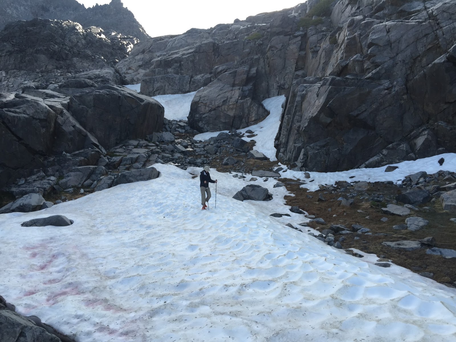
 The second day of our journey broke mostly clear and sunny but that unfortunately would not last. The creek leading out of the tarn we were camped near gave us our first indication of what was to come as it disappeared over the edge of some unknown cliff. I knew from my advanced reading for this section that this would be one of the toughest route finding days of the entire trip. For the next few miles it would be critical that we followed the written description and several waypoints stored in my GPS very carefully to avoid being "cliffed out" or stuck on a steep descent. This is the headwaters of the North Fork San Joaquin River starting at the Ritter Glacier above Lake Catherine just a stone throw from our campsite. After packing up we took a quick side trip to see the Ritter Lakes a short distance away.
 |
| One of the Ritter Lakes |
 |
| Return from Ritter Lakes |
In the next couple miles we would descend over 1000 vertical feet before traversing and climbing a cirque wall to the perched Twin Island Lakes. But first, we had to find our way down the wall...
 |
| Descending the wall |
 |
| Previous night camp was at the top of this waterfall |
 |
| Waterfall on the wall |
 |
| Looking back up the wall part way down |
 |
| Looking back across the valley at the wall we came down. I'm still not sure how we did it. |
At just below 10,000 feet elevation we started a relatively easy traverse across to the brief climb to Twin Island Lakes.
 |
| Traverse to Twin Island Lakes |
 |
| North Fork San Joaquin River far below from cirque wall near Twin Island Lakes |
 |
| Ascent up to Twin Island Lakes |
 |
| Lower of the Twin Island Lakes |
 |
| Flowers! |
 |
| Penstemon |
 |
| Red and White Mountain Heather |
 |
| Talus traverse. North Glacier Pass (where we started the day) in the middle background. |
 |
| Talus traverse to Bench Canyon |
 |
| Bench Canyon hideout |
Hiding out in the rain
The rain had started around 4:30 PM and we didn't have the miles in we had hoped for. The objective for the day was to get to at least Blue Lake at the head of Bench Canyon, just below Blue Lake Pass (the Yosemite NP boundary). We were still 2 miles short of that goal. At 6:30 the rain finally let up so we cooked some dinner. With a couple hours of light left we decided to throw the stuff back in the packs and make for Blue Lake. We arrived right at sunset and had some beautiful views of the fading light back to the Ritter Range and Minarets. It was a fine end to the day.
 |
| Bench Canyon after the rain looking back at the Ritter Range |
 |
| Fading light on Blue Lake |
 |
| Sunset on the Ritter Range and Minarets from Blue Lake |
Bird Lists:
Lake Catherine
Twin Island Lakes
Lake 10290
Bench Canyon
No comments:
Post a Comment