Tuesday, May 19, 2020

Black Mountain

Bob and I made a couple of trips into the El Pasos, also called the Black Mountains.  It isn't my favorite hiking as it can be brutally hot, and there are many knee twisting lava rocks.  The human history though, is very interesting. 

On our first trip we were looking for mariposa lilies.  We did eventually find a few and we explored a bit finding a very scenic rock formation that we turned into an interesting loop.  We also noticed the hoofed locusts, sheep, were out in force, and evidence of their destruction was widespread.

On our second trip we climbed to the top of Black Mountain.  We were lucky and the temperature was perfect.  Once again I was impressed with all the house rings.  They seem to be everywhere.  This trip it struck me that the rectangular squares were fields.  It looks like the original population were farmers.  If so, what were they raising?  Chia or one of the onion family members come to mind.  Speaking of onions, we found Spanish Needle Onion on top.  A new location for this limited range species.

Thistle Sage


Mojave Aster


Brittle bush
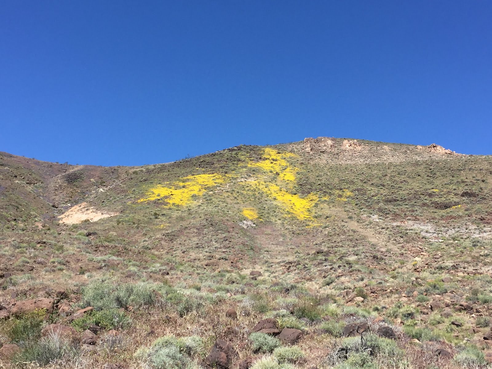
A splash of coreopsis.


Snake's Head
Apricote Mallow

Mariposa Lily


On our second hike we had a small group as it is possible to social distance hike.  Plenty of space to spread out as we worked our way to the top, or other points.

A new meaning to group photo.


Bob, a house ring, and Bob

Amy


These look like small field plots to me and they extend up and down the mountain.


I think this looks like terraced fields.


Spanish Needle Onion


Phacilia


Desert Parsley
House ring and Black Mountain and Bob

Hedgehog Cactus


Wednesday, May 13, 2020

Reviving a 100+ Year Old Hiking Trail

ebird list

While we were out looking at poppies with Kitty and Bill, she mentioned that Jack Sprat, a sometime stage coach robber in the 1870's and 1880's used to make a quick get away by taking the trail through Sand Canyon up to Lamont Meadows.  And later there was a mule packer in Sand Canyon that made trips up and over into the Sierra. I was incredulous.  I have been to the back of Sand Canyon forty plus times, and have tried to struggle as far up the canyon as I could.  I have always been defeated without getting very far.

I stated it couldn't be done.  The canyon was too steep, to have ever had a trail.  Turns out, I was very wrong.  The trail is shown on the 1919 and 1930 topo maps.  Bill, and Bob and modern topo maps plotted where they thought the trail would be on the ground, and then we hatched a plan to try the trail from the top to the bottom figuring if we couldn't find a way down, we could always go back to the car on top and admit defeat. I had such a nice time I would do it again.  The pre-dawn start was hard, but the scenery, history and birds were worth it.

The two old maps we based our route on:


Sunrise on Lamont Peak.  Did I mention we got an early start.
Our first three miles was on the PCT to the pass at the top of Sand Canyon.
Consulting the GPS at the start of the decent trail into Sand Canyon.
Yes, we are on the trail.

More GPS consultation as we look for the trail.


Mules ears.  Seems appropriate on an old mule trail.
We will head to the bottom of this canyon.
Yes, an old gate.  Definitely on the trail.
Grinding holes
Bill and Bob coming up a tricky part.
Left of the pine is where we came from.
Jewelweed
This brushy part wasn't my favorite.
And the brush just keeps on going and going.
This is one steep canyon.
Flannel bush


The flannel bush was the best I have ever seen.  It was wear your darkest sunglasses bright.  It was glorious, it was scenic, and I took many a photo.  Lucky you.  You get to see them in all their glory.  Fortunately, I'm only showing a sample of all the flannel bush photos that I took.  You probably don't believe that.
But first, a thistle to break up the yellow.


We came from where the rocky mountain meets the sandy ridge, way back there.


Bob and Bill on the old trail.
We have followed parts of the old trail in the lower canyon for years.  We were unaware that our trail was part of the original pack station trail.

That low spot on the horizon is where we dropped into the canyon.
Part of the pack station.